The site
Site location
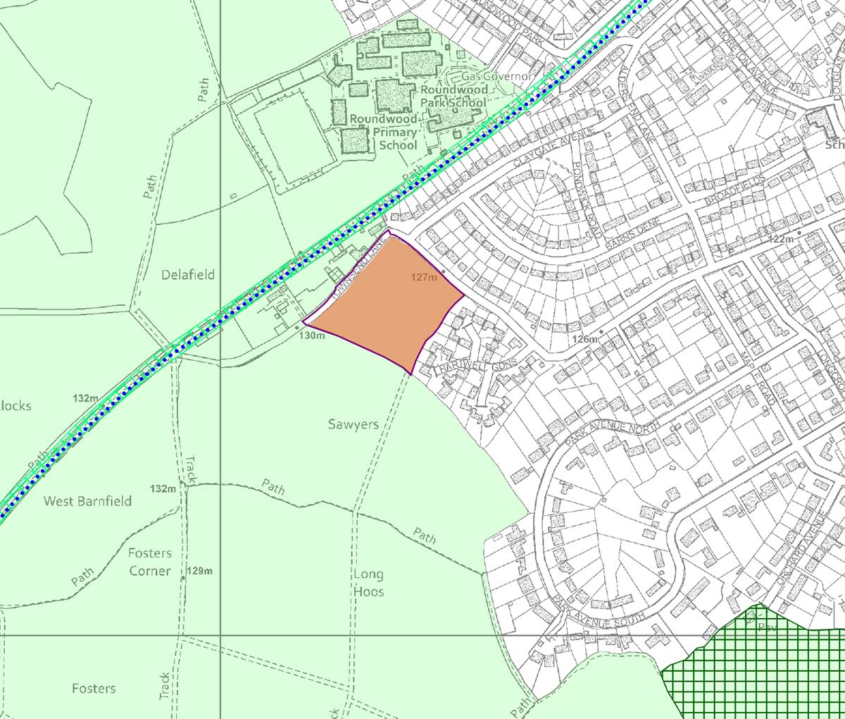
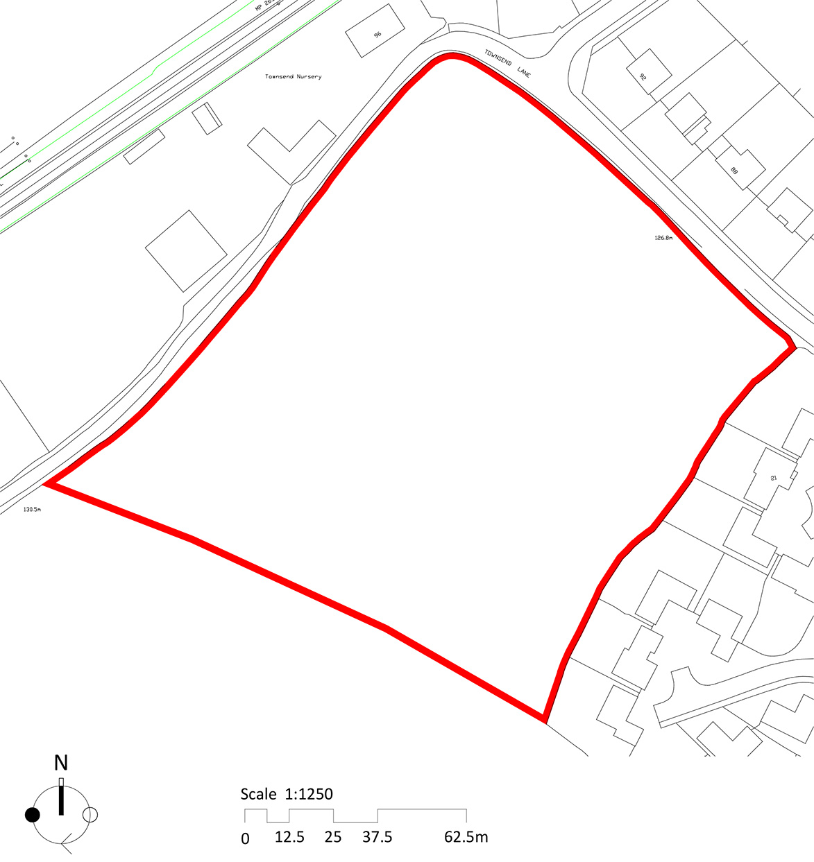
The site is situated on the western edge of Harpenden off Townsend Lane and comprises a square parcel of circa 1.88 hectares.
The site consists of an arable field surrounded by hedgerows and trees. It is bordered by existing residential housing on two of its boundaries on Townsend Lane and Hartwell Gardens, with commercial use to its northwest boundary and provides a key link to Nickey Line cycleway. To the southwestern boundary, the site adjoins open countryside.
The site benefits from a sustainable location and access to the wider public transport network including the Harpenden railway station which provides connections to London and Bedford, and local bus stops along Luton Road. The site is also well connected to the wider strategic road network with the M1 and M25 in close proximity.
Additionally, the site is well integrated with local walking and cycling routes, including the Nickey Line, which will further enhance sustainable transport choices. The site also benefits from being within a walking distance of Roundwood Park Secondary School, Roundwood Primary School and the amenities of Luton Road.
Development
Emerging local policy context
The site is draft allocated in St Albans City & District Council’s draft Local Plan 2041 under Core Policy M7 deeming the site suitable for residential development.
The draft allocation identifies that an indicative figure of 65 homes could be delivered on the site. As part of our considered design approach, Hill Residential has tested different densities on the site to ensure that any development is sympathetic to its surroundings and the local context.
From this review, it is considered that circa 56 homes would provide a more sympathetic development, reflective of local character, whilst providing a mix of homes to meet local needs and increase the opportunity to provide larger open spaces on site.